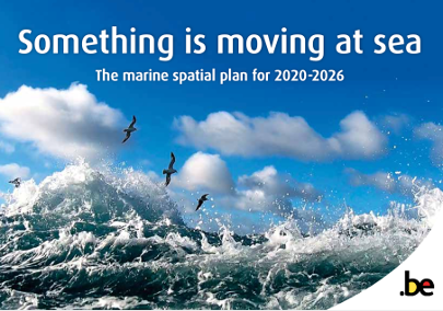
Marine spatial plan
In and on the Belgian part of the North Sea, there are a lot of activities on a fairly limited space, like fisheries, military activities, sand extraction, shipping, dumping of dredged material, windfarms, … In order to combine these activities, clear agreements are needed between the different users. To this end, the federal government has drawn up a marine spatial plan (MSP).
In March 2014, a Royal Decree drawing up a marine spatial plan establishing the spatial use of the Belgian part of the North Sea for the period 2014-2020, was published. The Federal Minister for the North Sea took the initiative for this plan.
The marine spatial plan always runs over a period of six years. The Royal Decree of 22 May 2019 establishing the marine spatial plan for the period from 2020 to 2026 in the Belgian part of the North Sea areas was published in July 2019 and entered into force on 20 March 2020. The Federal Public Service (FPS) Health, Food Chain Safety and Environment drew up a brochure for this marine spatial plan
:In order to make the geographical information in the Royal Decree accessible for a broad community of potential users, the website marineatlas.be was created to publish validated, fully qualified, geographical layers on the initiative of the Management Unit Mathematical Models North Sea (MUMM) of the OD Nature, in collaboration with Geocell of the OD Nature.
Geocell has quality-controlled the geographical information published in the Belgian State Gazette, digitized it and converted this information into geometric shapes (“shapefiles” and “kmz”).
The layers and maps related to the Belgian marine spatial plan have to be used jointly with the corresponding articles of the Royal Decree. These articles determine the rules that apply to the various zones.
How to contact the FPS Health, Food Chain Safety and Environment:
Contact centre: +32 (0)2 524 97 97
Email: info@environment.belgium.be
Web site: FPS Health, Food Chain Safety and
Environment.

